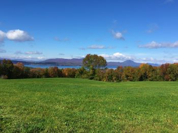
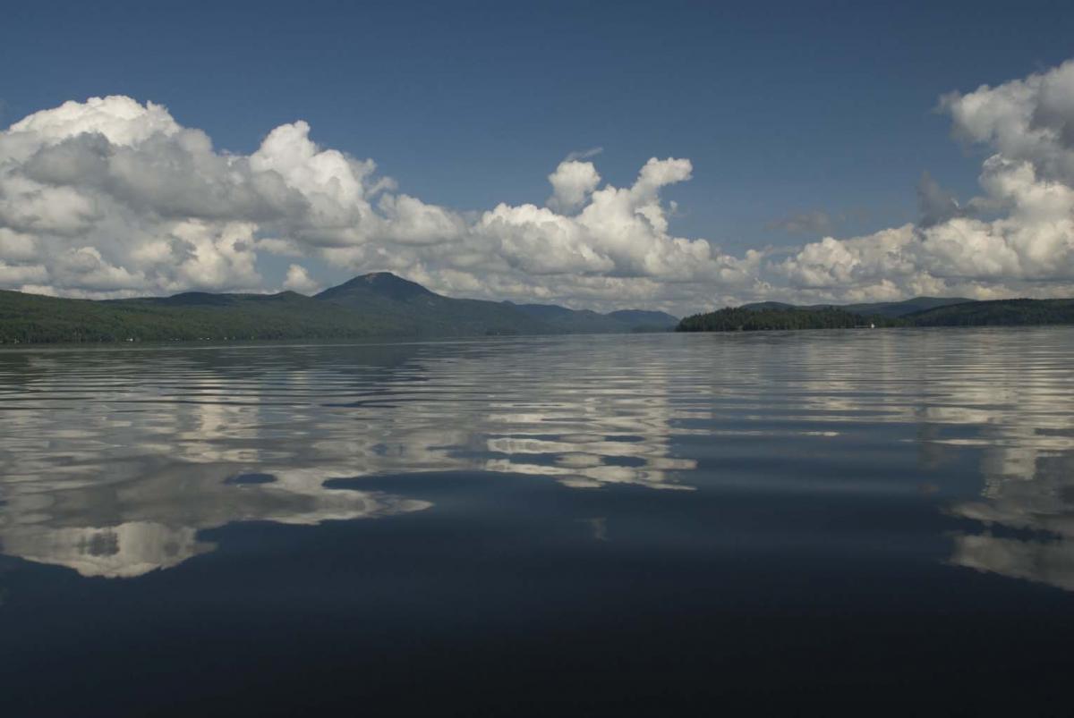
 Lake Memphremagog covers an area of 97 km2, of which three quarters is in Quebec and one quarter in Vermont. Lake Memphremagog is a source of drinking water for approximate 175,000 Canadians and is used for a variety of human activities, including swimming, boating, and fishing that attract a large number of tourists and locals. These uses are limited by elevated nutrient levels in the lake and resulting cyanobacteria blooms, 156 of which have been reported between 2006 and 2018. The Lake Memphremagog watershed along with the Coaticook and Tomifobia Rivers make up the St. Francais River watershed in Vermont, also called Basin 17. Information about Basin 17 planning efforts can be found on the Basin 17 planning webpage.
Lake Memphremagog
Resources and Reports
Memphremagog Cyanobacteria Identification Presentation
Lake Memphremagog Steering Committee Lake Data May 2023
Lake Memphremagog PFAS Update May 2022
Basin 17 Water Quality Monitoring Basin Plan Update May 2022
Lake Memphremagog Steering Committee Lake Data May 2022
2021 Vermont PFAS Surface Water, Fish Tissue, and Wastewater Treatment Facility Effluent Monitoring Report - April 4, 2022
Nutrient Loading and Impacts in Lake Champlain – Missisquoi Bay and Lake Memphremagog
Lake Memphremagog Phosphorus Total Maximum Daily Load VT DEC
Tracking Phosphorus loading Reductions in the Lake Memphremagog Watershed (PowerPoint) - November 19, 2019
Restoring Lake Memphremagog Fact Sheet (English)
Restoring Lake Memphremagog Fact Sheet (French)
Restoring Lake Memphremagog Fact Sheet - Agriculture
Restoring Lake Memphremagog Fact Sheet - Natural Resources
Restoring Lake Memphremagog Fact Sheet - Stormwater and Wastewater
Clean Water Initiative Lecture Presentation - November 9, 2017
Memphremagog TMDL Responsiveness Summary
Lake Memphremagog TMDL Modeling Documentation
Lake Memphremagog, Coaticook and Tomifobia Tactical Basin Plan
Wasteload Allocation for Facilities in the Memphremagog Watershed
Updates
Québec/Vermont Memphremagog Steering Committee Hybrid Meeting 11/18/2021
Comité Directeur Québec/Vermont Sur LeLac Memphrémagog Recontre Hybride 11/18/2021
Lake Memphremagog Lake & Tributary Water Quality Trends & Aquatic Invasive Species Update
Lake Memphremagog 8-24-2021 meeting recording
Lake Memphremagog Steering Committee Meeting Update on In-Lake Monitoring November 10, 2020