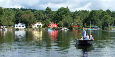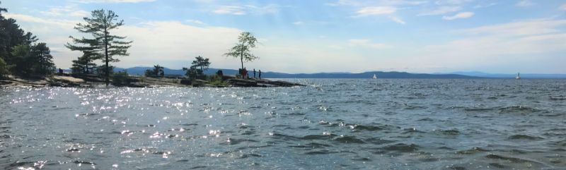
Vermonters value clean water and appreciate their local streams, lakes, and wetlands. Our economic prosperity and way of life depend on clean water. Clean water protects public health; supports fishing, swimming, boating, and other recreational uses; and provides critical wildlife habitat. Clean water also attracts visitors and protects property values.
Unfortunately, not all of Vermont’s waters are as clean as they should be. Water pollution limits our use and enjoyment of approximately 15% of Vermont’s lakes, and 20% of streams. The primary source of water pollution is stormwater runoff from agricultural land, developed land sources (including roads, parking lots, lawns, athletic fields, buildings, and industrial facilities), forest harvesting operations, and streambank erosion. When rain and snowmelt flows over these lands and surfaces, water is not absorbed into the ground and stormwater runoff is generated. This runoff delivers eroded soil and excess nutrients, such as phosphorus, to waterways, leading to harmful algal blooms and nuisance aquatic plant growth. Wastewater treatment plants are also a secondary source of water pollution to Vermont’s waters.
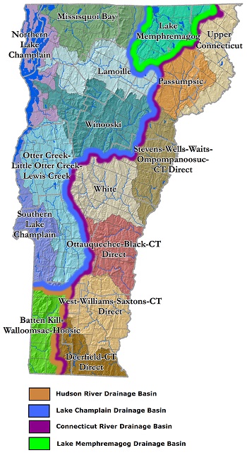
For waters not meeting Vermont State Water Quality Standards, needed pollutant reductions are identified through Total Maximum Daily Loads (TMDLs). Tactical basin plans describe how these pollutant reductions will be achieved by outlining priority projects or actions, based on monitoring and assessment data, to protect or restore specific waterbodies.
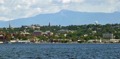
Vermont can be divided into four major basins: Lake Champlain, Lake Memphremagog, Connecticut River, and Hudson River. It can be further divided into 17 sub-basins, based on the watersheds of major tributaries flowing into these waterbodies. Five basin planners develop 15 tactical basin plans that cover every major sub-basin.
For an overview of the four major basins, and additional priority watersheds, click on the links below.