The Monitoring and Assessment Program (MAP):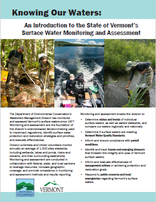
- Measures water quality indicators and evaluates these indicators in light of applicable standards or thresholds.
- Maintains a comprehensive water quality database representing Vermont’s surface waters.
- Oversees water quality remediation planning for regulated entities.
- Reports on the condition of Vermont's surface waters statewide, which serves as the foundation for Tactical Basin Planning.
Click on the image at right for an introduction to the Watershed Management Division's monitoring and assessment efforts. Additional information and resources for each MAP focus area are available via the left navigation menu or the links below.