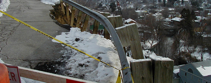
Hazard Reports, Presentations and Publications
Landslide Publications
Vermont Geological Survey Landslide Inventory GIS Data
VG2019-5 Springston, G., 2019, Landslide Inventory of Orange County, Vermont [Report, Map]: Vermont Geological Survey Open File Report VG2019-5.
VG2018-6 Springston, G., 2018, Landslide Inventory of Chittenden County, Northwest Vermont [Report, Map]: Vermont Geological Survey Open File Report VG2018-6.
VG2017-7 Springston, G., Landslide Inventory of Washington County, Central Vermont [Report, Plate 1 -Map]:Vermont Geological Survey Open File Report VG2017-7
VG2016-4 Springston, G., 2016, Final report on a landslide inventory of the Town of Highgate, Vermont [Report, Map Plates 1-2, Map plates 3-4, Map plates 5-6]: Vermont Geological Survey Open File Report VG2016-4, text plus 6 plates, scale 1:24,000.
VGTR2016-1: Van Hoesen, J. Anderson, O., and Duncan, J., 2016, Final report summarizing the efficacy of GIS-based modeling of landslide susceptibility, Addison County, Vermont: Vermont Geological Survey Technical Report VGTR2016-1.
VGTR2012-1: Clift, A and Springston, G, 2012, Protocol for Identification of Areas Sensitive to Landslide Hazards in Vermont:Vermont Geological Survey Technical Report VGTR2012-1. (This report is part of the State Hazard Mitigation Plan)
VGTR2009-1: Springston, G, 2009, Smugglers Notch Slope instability Report: Vermont Geological Survey Technical Report VGTR2009-1. Report plus Plates 1,2; Plates 3,4,5.
Baskerville, C.A., Ratte, C.A., and Fitzhugh. T.L., 1988, A rockfall and debris slide at Smugglers Notch, Mount Mansfield/Cambridge, VT: Studies in Vermont Geology No. 4, 10 p.
Seismic Hazard Publications
Educational Leaflet 1: Earthquakes in Vermont, G Springston and M Gale, 1993
VGTR2013-1: Lens, J and Springston, G, 2013, Report on the comparison of shear wave velocity measurements with Multispectral Analysis of Surface Waves (MASW) along with Microtremor Array Method (MAM), Seismic Cone Penetration Tests (SCPT), and Standard Penetration Tests (SPT) for the Burlington and Colchester, Vermont USGS 7-1/2 minute quadrangles.
VG13-3 Lens, J, DeWolkar, M, Springston, G, and Becker, L, 2013, Seismic hazard for the Burlington and Colchester, Vermont USGS 7-1/2 minute quadrangles: Vermont Geological Survey Open File Report VG13-3.
VG13-4 Lens, J, DeWolkar, M, Springston, G, and Becker, L, 2013, Seismic hazard mapping for Williston, Vermont: Vermont Geological Survey Open File Report VG13-4.
Seismic site class, amplification and liquefeaction hazard mapping for the Burlington and Colchester VT 7.5 minutes quadrangles, 2011
Seismic screening and analysis of selected critical facilities in Vermont utilizing two FEMA methodologies (HAZUS and ROVER), 2016, NESEC Report
Washington County, Vermont Multi-Hazard Analysis, NESEC report, 2018
Chittenden County, Vermont Multi-Hazard Analysis, NESEC report 2019