Stream Geomorphic Assessment Program
River Corridor Planning, Protection and Restoration
River Scientists
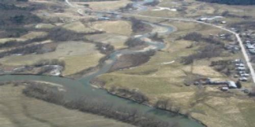
The Vermont Rivers Program utilizes the River Corridor concept to help manage Vermont’s rivers towards a state of dynamic equilibrium. River corridors encompass an area around and adjacent to a river where fluvial erosion, channel evolution and down-valley meander migration are most likely to occur. River corridor widths are calculated to represent the narrowest band of valley bottom and riparian land necessary to accommodate the least erosive channel and floodplain geometry (i.e. equilibrium conditions) that would be created and maintained naturally within a given valley setting.
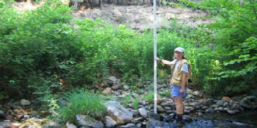
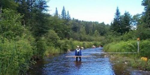
The State Rivers Program uses its Stream Geomorphic Assessment program to provide baseline data on the physical health of Vermont’s river systems. This stream geomorphic assessment data is used by the State’s team of river scientists in river corridor mapping, planning, protection, restoration, and regulatory activities.