Photograph (J. Kim): Orbicular granite, Craftsbury

Industrial Minerals: 200 years and Going Strong: D. Conrad and D. Vanacek, 1990 and updated in 2005 (S. King) and 2016. Includes granite, marble, slate, kaolinite and more.
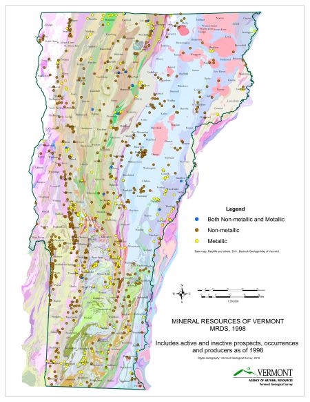
Separate maps show sand and gravel pits, sand and gravel deposits, crushed rock , metallic mineral resources, and dimension stone. A statewide compilation of radioactivity data (2002) includes data from uranium exploration , as does the map produced in 1980. Obtain mine, quarry and sand and gravel pit status (abandoned, active, intermittent) through MSHA's online system for easy access to the data.
Highway Construction Materials Surveys by Town are surveys from the 1970s of sand and gravel resources.
VTRANS Approved Aggregate Source List and Geotechnical Engineering Section
Environmental Geology Reports (1971-1975) also include sections on sand and gravel resources.
The U.S. Dept. of Labor, Mine Safety and Health Administration reports on mine activity: List of Mine, quarry and sand and gravel pit status in 2014. In 2000, full time operating mines included 2 marble (dimension stone), 25 slate (dimension stone), 1 granite (dimension stone), 1 talc and soapstone, 7 limestone (crushed rock), and 6 sand and gravel operations. 142 mines were listed with an intermittent operation status. Of these mines, 89 were sand and gravel operations.
USGS Minerals Information for Vermont.
