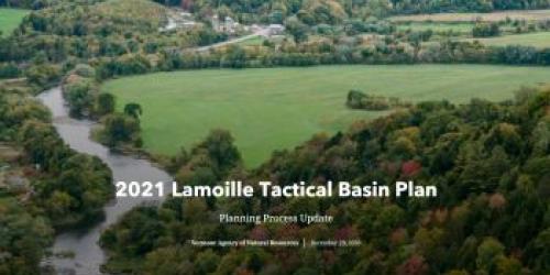
2021 Lamoille River Tactical Basin Plan
The 2021 Lamoille River Tactical Basin Plan (TBP) is available for viewing. A companion Story Map showcasing the watershed activity, water quality improvements, and priority strategies can also be viewed for an interactive experience of work happening in the watershed. The Agency thanks all the watershed partners, stakeholders, municipalities, and the watershed community for their continued interest and action to inform the plan and improve water quality in the Lamoille River Basin. Click on the List of Basin 7 Existing Uses to discover the opportunities provided at and in these waters.
The 2021 Lamoille Basin Municipal Protectiveness Table that provides water resource protection information by town was updated on 6/22/2021 for downloading in an Excel spreadsheet format. These tables were previously included in the appendices of the Tactical Basin Plans, and are now located on our basin webpages for public viewing.
2021 Public Comment Process
A hybrid virtual and in-person meeting was held on Thursday, October 14, 2021, at 6PM in Hyde Park, and in satellite locations hosted by our partners in Jericho, Fairfax, Greensboro, and Berlin. The presentation can be viewed in the video below with closed captioning available. A transcipt of the presentation is also available if you view the video on YouTube.
Copies of the plan may be obtained on-line at https://dec.vermont.gov/sites/dec/files/WID/WPP/2021%20Lamoille%20River%20Tactical%20Basin%20Plan.pdf or by requesting a copy from Karen Bates, by email at karen.bates@vermont.gov or (802) 490-6144.
The final plan was signed on January 10, 2022. If you have questions or comments about the planning process, please contact your Basin 7 Watershed Planner, Karen Bates, by email at karen.bates@vermont.gov or by phone at (802) 490-6144.
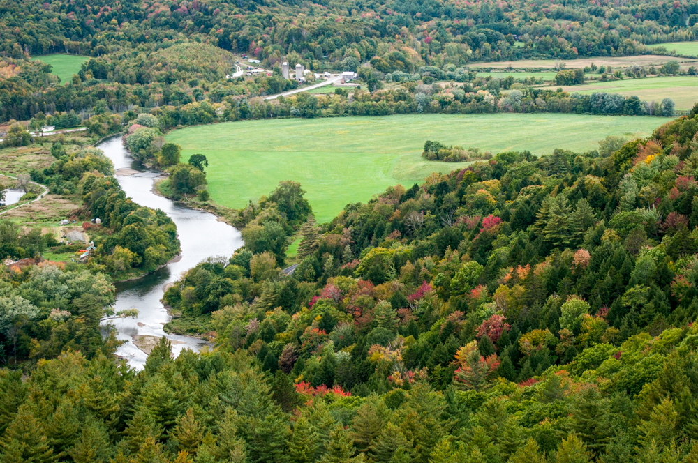
Tell Me About the Lamoille Basin
The Lamoille River Basin has a watershed area of 706 square miles. The main stem of the Lamoille River flows over 84 miles from its headwaters in Glover to the outer Mallets Bay in Lake Champlain and traverses 34 towns and 5 counties.
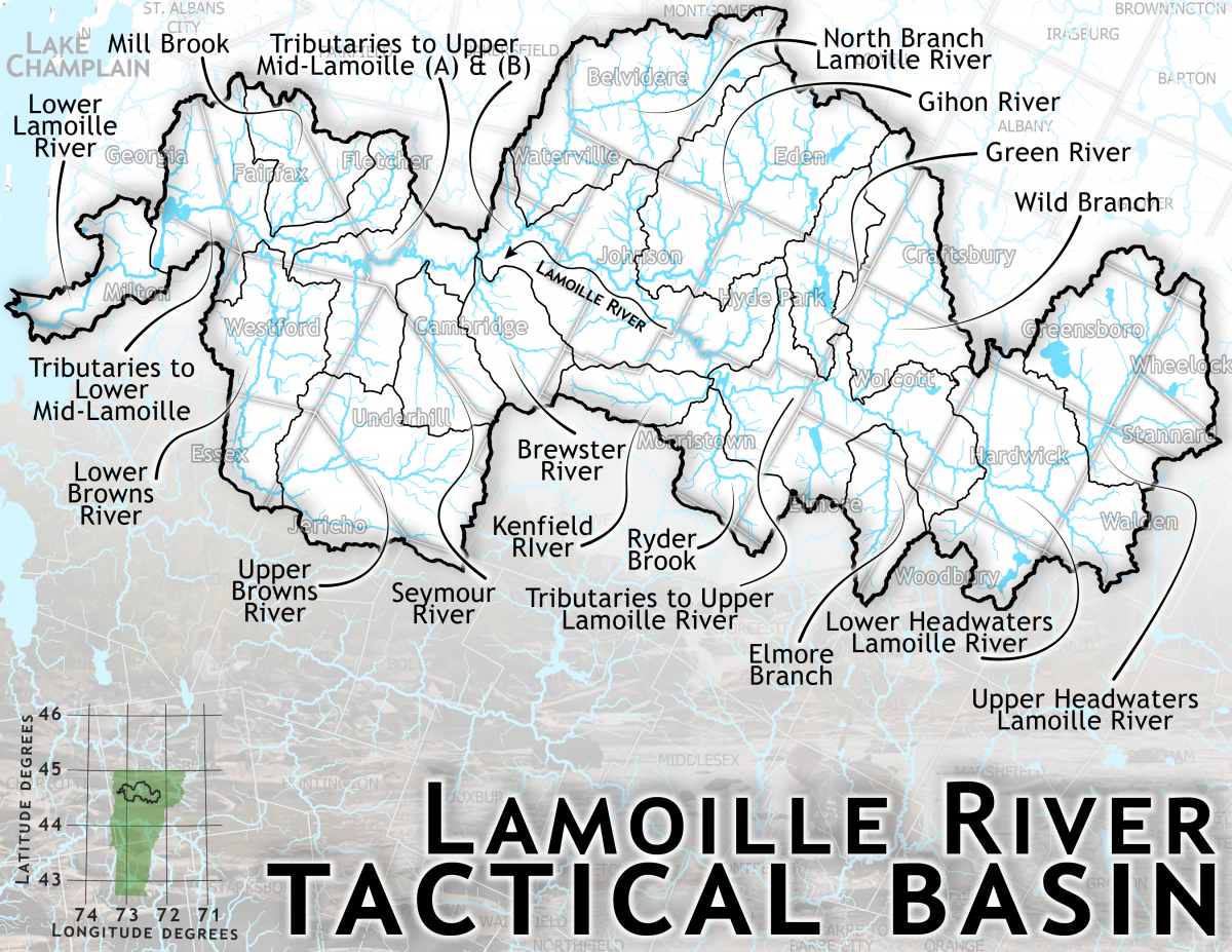
Major tributaries to the Lamoille River include the Wild Branch, North Branch, Brewster River, and Browns River. Larger lakes in the watershed include Caspian Lake, Lake Elmore, Green River Reservoir, and Arrowhead Mountain Lake.
Lamoille Watershed Priorities
- Protect very high quality surface waters by monitoring, assessment, and reclassification
- Promote implementation of agricultural water quality practices in high phosphorus loading watersheds by mapping, outreach and implementation of conservation tillage and cover cropping in floodable soils
- Protect river corridors and support stream equilibrium by implementing high priority projects identified in River Corridor Plans
- Inventory municipal road erosion features that discharge into surface water and prioritize and implement best management practices
- Engage priority communities in stormwater master planning and implementation
- Improve lakeshore zone habitat by evaluation, protection, and implementation of projects identified in lakewide assessments
- Identify and implement wetland and floodplain restoration projects
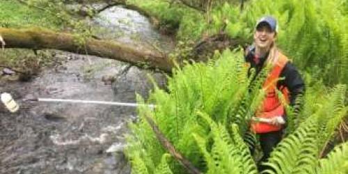
- Increasing understanding of water quality conditions through water quality monitoring