What's New
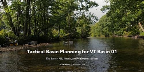
The 2021 Batten Kill, Hoosic, and Walloomsac Tactical Basin Plan (TBP) is available for viewing. A companion Story Map can also be viewed for an interactive experience of work happening in the watershed.
The Basin Plan encompasses portions of 16 towns in Southwestern Vermont, including Arlington, Bennington, Dorset, Glastenbury, Manchester, Peru, Pownal, Readsboro, Rupert, Sandgate, Shaftsbury, Stamford, Stratton, Sunderland, Winhall, and Woodford. The plan contains three key elements:
- A health assessment of the rivers, lakes, and wetlands within the Batten Kill, Hoosic River, and Walloomsac River watersheds.
- 39 strategies to improve water quality, including methods to decrease runoff from farms and roads, protect and restore water bodies, and limit overflows from wastewater treatment facilities.
- Tips for landowners, watershed organizations, and towns interested in receiving funding and technical assistance to help protect and restore water resources.
The Agency thanks all the watershed partners, stakeholders, municipalities, and the watershed community for informing the plan and working to improve water quality in the Batten Kill, Hoosic, and Walloomsac Basin.
2021 Public Comment Process
A virtual meeting was held on June 24, 2021, at 5:30 PM. A second meeting, with both virtual and in-person participation options, was held on July 8, 2021, at 3 PM at the Arlington Town Hall.
The final plan was signed on February 7, 2022. Copies of the plan may be obtained on-line or by requesting a copy from Angie Allen by email at angie.allen@vermont.gov or (802) 490-9081.
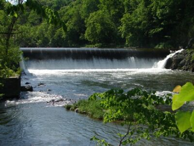
The Vermont portions of the three rivers which comprise this river basin have the unique distinction of being the only watersheds within Vermont that are part of the larger Hudson River regional basin. The Batten Kill, Walloomsac River and Hoosic River and their associated tributaries have their origins in the southwest corner of Vermont and collectively comprise what is referred to as Basin 1. The watershed area of the Batten Kill in Vermont is about 200 square miles. The Walloomsac River in Vermont drains a watershed of about 139 square miles and eventually flows into the Hoosic River in New York. The watershed area of the Hoosic River in Vermont is about 89 square miles. The Taconic Mountains, Vermont Valley and Southern Green Mountains make up the three biophysical regions that play an integral part in the dynamic nature of the 428 square mile Basin 1.
For more information about this important effort, contact Watershed Coordinator Angela Allen 802-490-9081.
Basin Specific Reports
- Biological and Aquatic Life Use Attainment Assessment Barney Brook, Bennington, VT
- Aquatic Life Use Attainment Assessment of Fayville Branch
Additional Resources
- Completed Basin Plan Example: Upper Connecticut and Passumpsic River Basin
- Tactical Basin Planning
- DEC's Batten Kill, Walloomsac, Hoosic Rivers Water Quality Assessment Report (August 2002)
- Map of Vermont's 15 Major Drainage Basins
- Vermont DEC River Management Program
- Association of Vermont Conservation Commissions
- Bennington County Regional [Planning] Commission
- Bennington County Conservation District
- A Comparative Assessment of the Water Quality and Macroinvertebrate Assemblage Characteristics of the Batten Kill with Several Other Wild Trout Streams in Vermont
- Batten Kill Watershed Alliance
- Batten Kill Conservancy
- Hoosic River Watershed Association
- Southwestern Vermont Chapter of Trout Unlimited
- Vermont League of Cities & Towns
- Whipstock Hill Preservation Society