

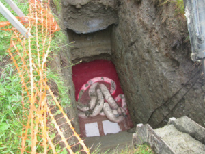
 The Sites Management Section (SMS) provides State oversight for the investigation and cleanup of properties where a release of a hazardous material has contaminated the environment, including soils, groundwater, surface water, and indoor air
A list of properties being managed under this program can be found in our two main online databases - the Environmental Research Tool (ERT) and the ANR Atlas.
The ERT database includes electronic copies of important site information (such as the initial site investigation report) for many sites, but does not generally represent all information in a site file. If there are reports you are interested in, please contact the DEC Project Manager (locate your site on the ERT to identify the PM). If you wish to review the entire site file, please email Lisa Brassard and Diana Lee to complete a public records request. In addition to standard map navigation tools, the ANR Atlas allows you to link from sites to documents where available, generate reports, export search results, import data, search, measure, mark-up, query map features, and print PDF maps.
Quick Links
- PFAS Rule and IRule Updates
- Brownfields Program
- Petroleum Cleanup Fund
- List of Consultants
- ATLAS
- ERT
- PFAS Information
- Utility Pole Contamination
- Environmental Notice Bulletin
- Developer Resources Chart
- Preferred Sites and Solar Projects
- Conceptual Site Model Guidance
- Elmwood Avenue Updates
- External Resources and Training
- PCBs in Schools