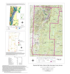
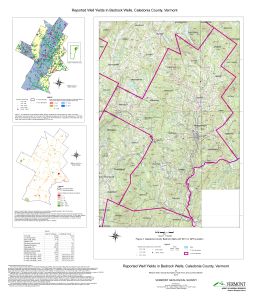
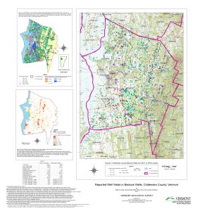
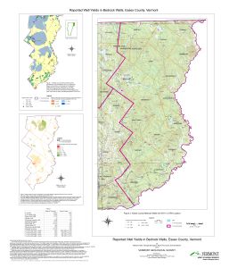
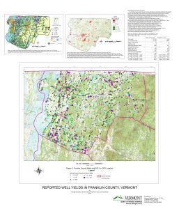
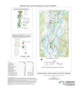
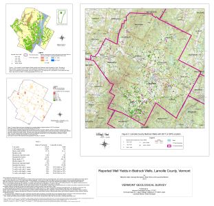
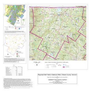
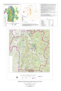
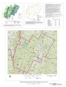
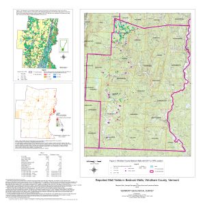
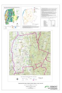
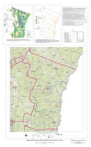
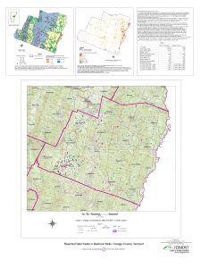
The maps are a summary of data by county of existing bedrock well information as shown on the statewide maps. Maps based on surficial information are in progress. Detailed groundwater resource projects at a scale of 1:24,000 are listed under the Town/Quadrangle projects and Open-File reports.
County Groundwater Resource Maps, 2010, 14 plates
BENNINGTON COUNTY
Bennington County Water use Maps
CHITTENDEN COUNTY
Chittenden County Water Use Maps
ADDISON COUNTY
Addison County Water Use Maps

