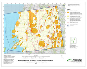
The project includes bedrock and surficial maps, plus the hydrogeology of Charlotte:
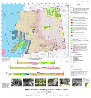
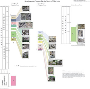
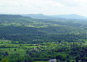 Bedrock Geologic Map of Charlotte, Vermont by Gale, M., Kim, J., Earle, H., Clark, A., Smith, T., and Petersen, K., 2009, OFR VG09-5, 3 plates, scale 1:24,000. GIS data
Surficial Geologic Map of Charlotte, Vermont by Springston, G. and Wright, S., 2009, OFR VG09-6, 1 plate, scale 1:24,000. GIS data
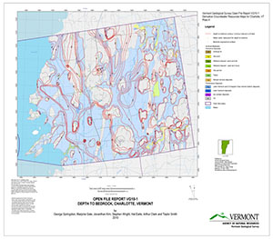
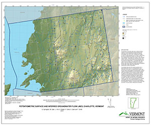
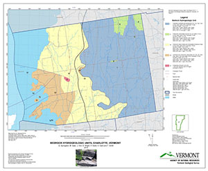
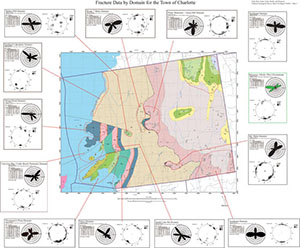
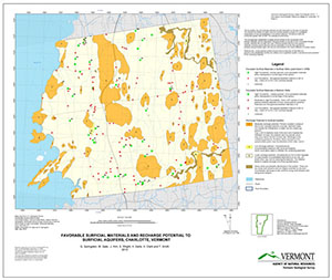
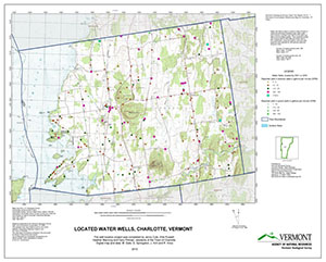
Hydrogeology of Charlotte, Vermont by Springston, G., Gale, M., Kim, J., Wright, S., Earle, H., Clark, A. and Smith, T., 2010, OFR VG10-1, 32 p, 7 plates, scale 1:24,000. Download GIS data . See maps below.

