Local Groundwater Resource Studies
PLAN - MAP - TEST - PROTECT
PLAN - MAP - TEST - PROTECT
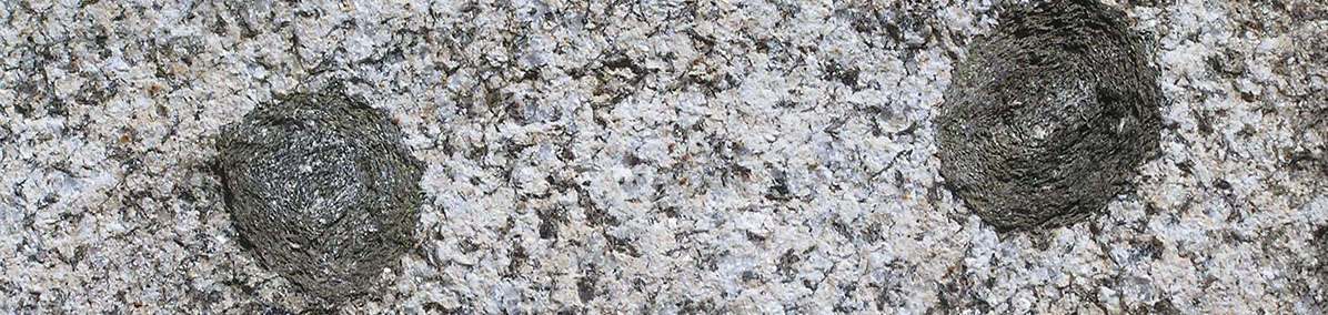
Photograph (J. Kim): Orbicular granite, Craftsbury
The Geological Survey focused on collecting water well temperature data as an indicator of temperature gradients, radionuclide chemistry as a potential natural augmentation to heat production, thermal conductivity measurements which impact heat flow, and structural data particularly rock anisotropy and fracture data. Thermal conductivity and geochemical data for 40 rock samples plus 17 water well temperature records were uploaded to the National Geothermal Data System for easy access.
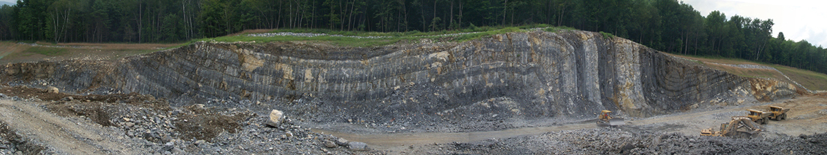 Photograph (T. Eliassen): Anticline and syncline, Bennington
Under Construction
Check back soon for updates!
 Our publications are available on-line and include maps and text at statewide to local scales, general interest to technical reports, and associated GIS data (shapefiles and geodatabases). As a service, we also host publications of the Vermont Geological Society and some USGS maps which were compiled for the 2011 Bedrock Geologic Map of Vermont.
The mapping program produces bedrock and surficial geologic maps by town, quadrangle and watershed. It is funded through STATEMAP, an annual competitive grant process through the National Cooperative Geologic Mapping Program of the U.S.Geological Survey. The State Mapping Advisory Committee, comprised of legislators, consultants, geologists, and mineral industry personnel, meets with the State Geologist to review the map program and make recommendations concerning the goals of this project.
 Vermont's geology contributes to many facets of human health. Bedrock, glacial materials, and soils each have positive and/or negative impacts on water quality and air quality. Healthy human bodies require minerals and elements (ex. salt, calcium, iron) which are transferred from the geologic environment through the food chain. Some geologic materials may filter contaminants so they do not reach groundwater supplies.