Skip to main content
An Official
Vermont
Government Website
Agency of Natural Resources
Department of Environmental Conservation
Menu
Air and Climate
Land
Waste
Water
Learn More, Do More
Disclaimer
Home
About DEC
Contact Us
Commissioner’s Office
Administration and Innovation
Air Quality and Climate
Drinking Water and Groundwater
Environmental Assistance
Environmental Enforcement
Geological Survey
Waste Management and Prevention
Water Investment
Watershed Management
Permits and Certifications
Funding Opportunities
Maps and GIS
Laws and Regulations
Village Wastewater Solutions Initiative
Vermont PFAS
VAEL Laboratory
VTWARN
Agency of Natural Resources
Search
Submit
Home
About DEC
Contact Us
Commissioner’s Office
Administration and Innovation
Air Quality and Climate
Drinking Water and Groundwater
Environmental Assistance
Environmental Enforcement
Geological Survey
Waste Management and Prevention
Water Investment
Watershed Management
Permits and Certifications
Funding Opportunities
Maps and GIS
Laws and Regulations
Village Wastewater Solutions Initiative
Vermont PFAS
VAEL Laboratory
VTWARN
Agency of Natural Resources
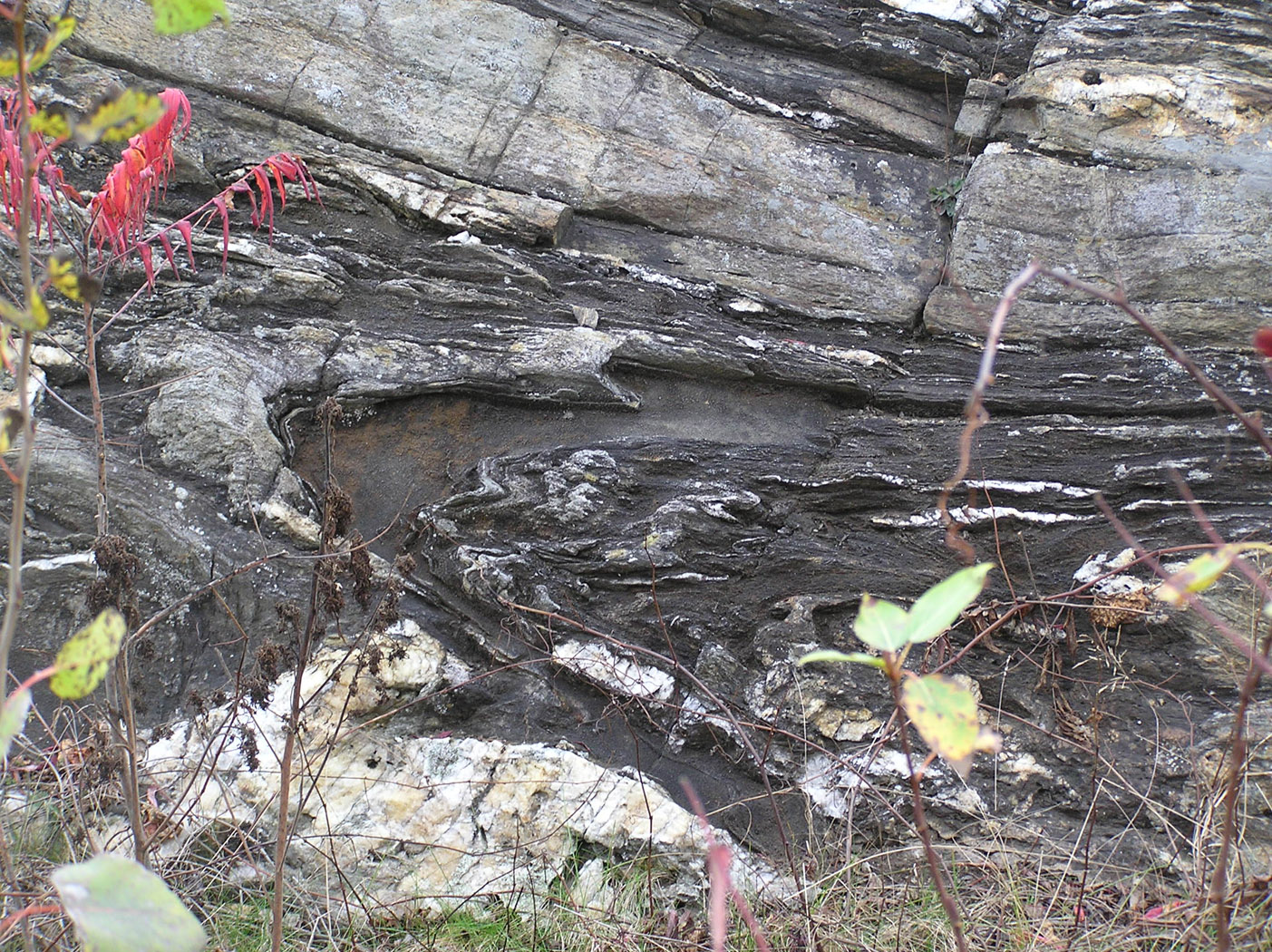
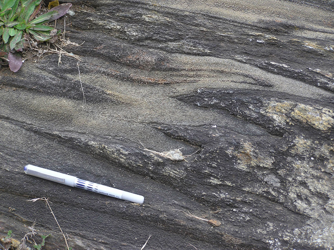
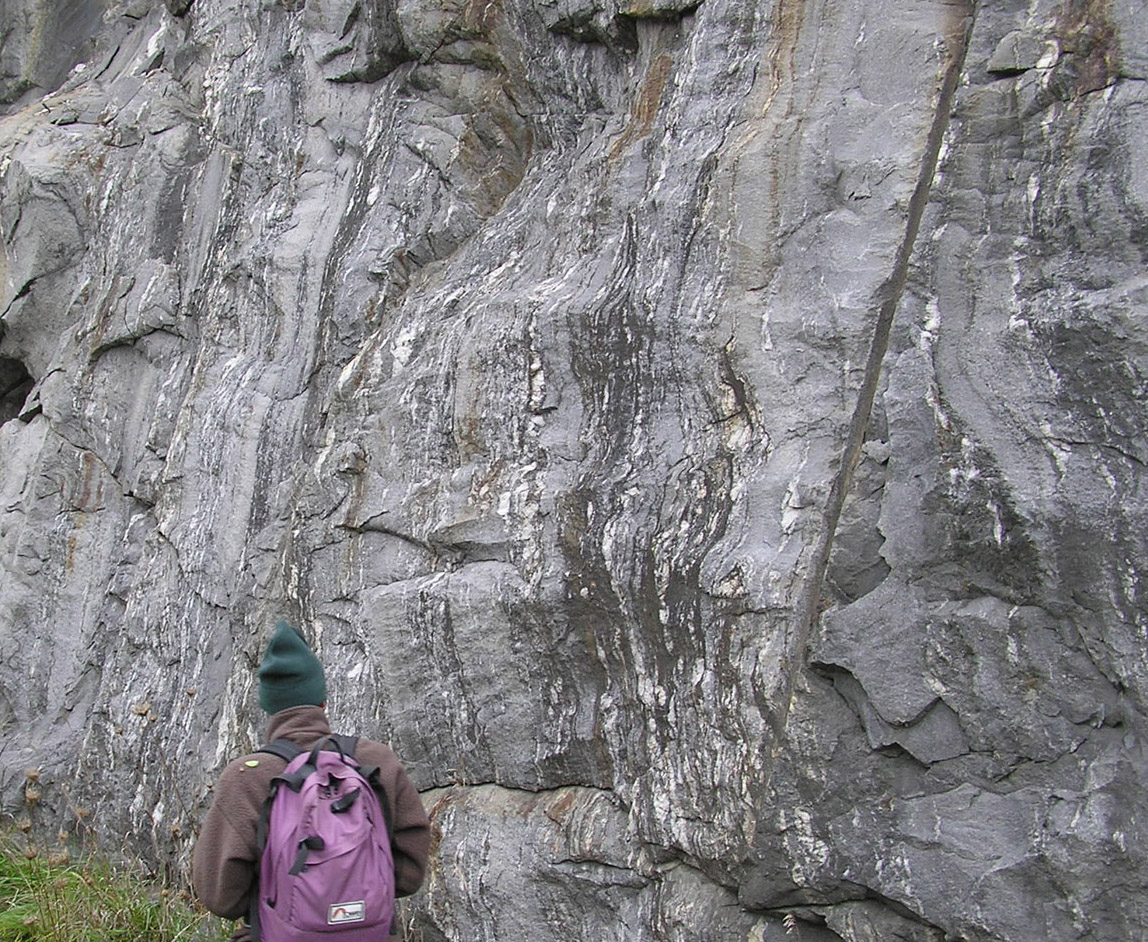
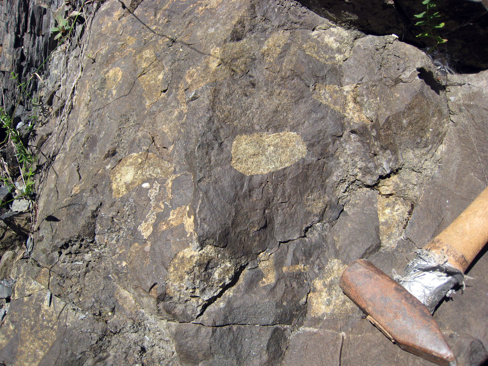
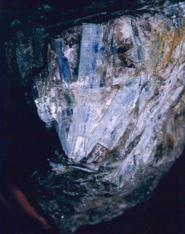
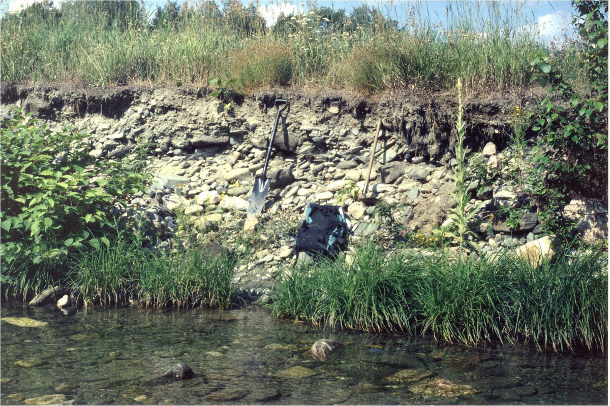
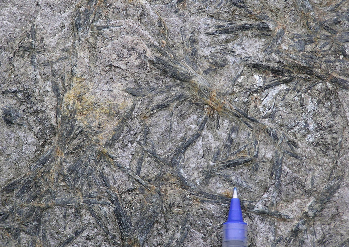
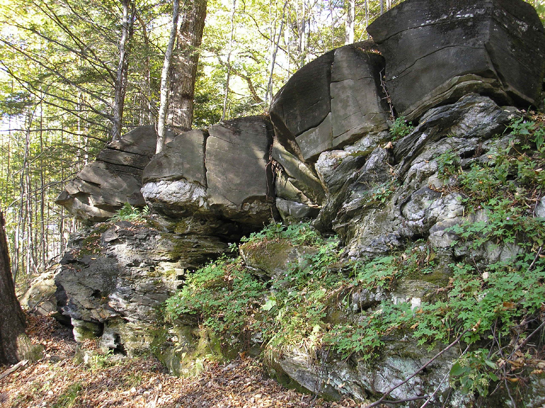
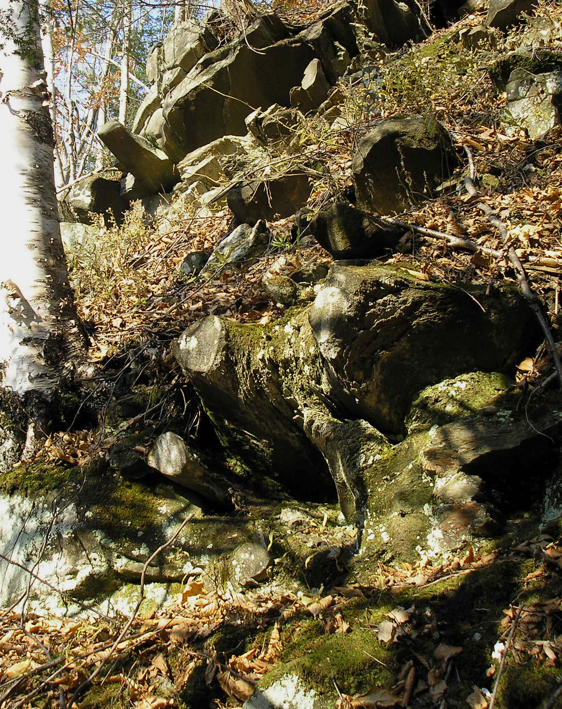
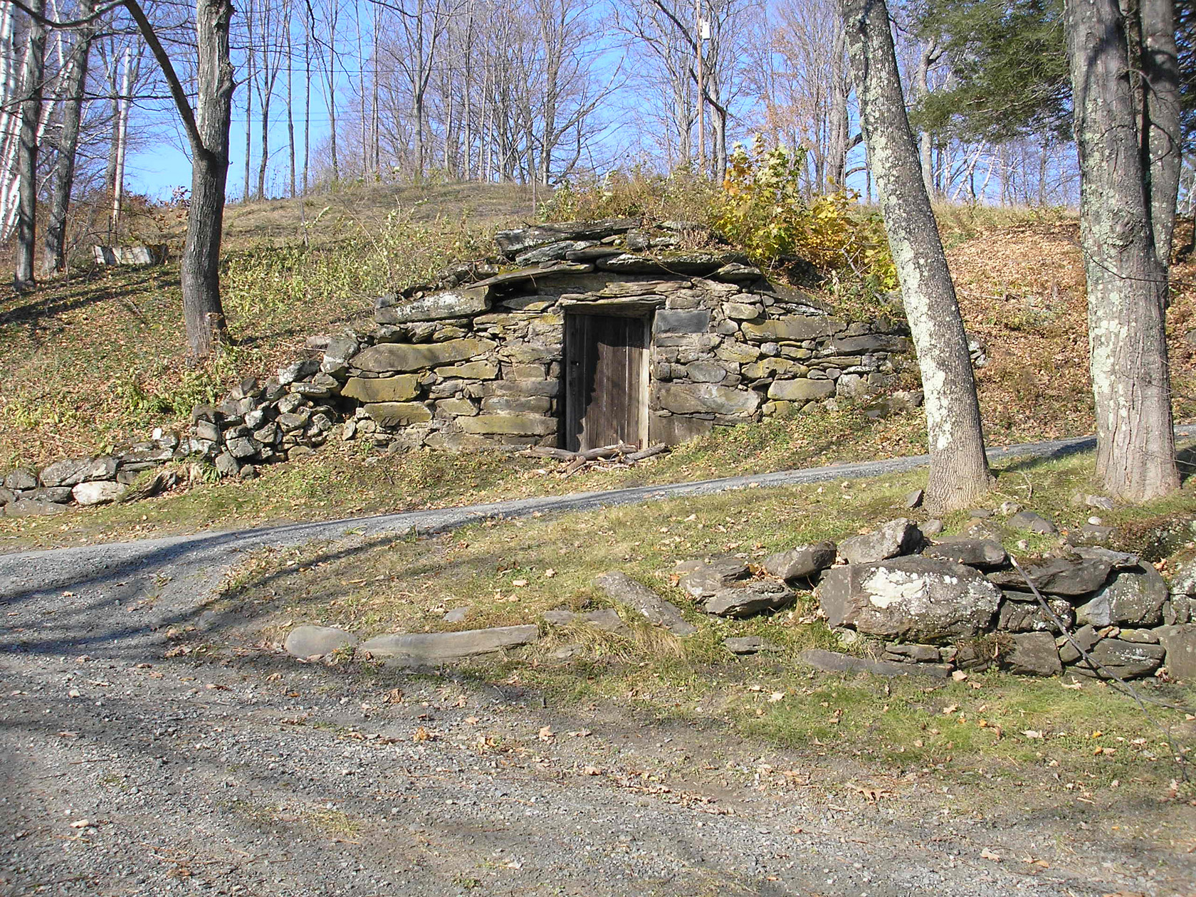
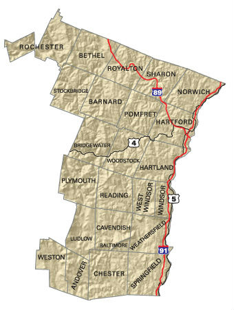
Windsor County
Back to Main Photo Gallery Page
Back to Main Photo Gallery Page