Radon
Radon is a colorless, odorless, and tasteless gas that forms naturally from the radioactive decay of uranium in rocks, surficial materials, and soils over millions of years. After formation, radon can move through fractures and layering in rocks or through connected pores in surficial materials and soils and enter a home through the foundation. Exposure to radon in indoor air is estimated by the Environmental Protection Agency (EPA) to be the second leading cause of lung cancer, with smoking being the first.
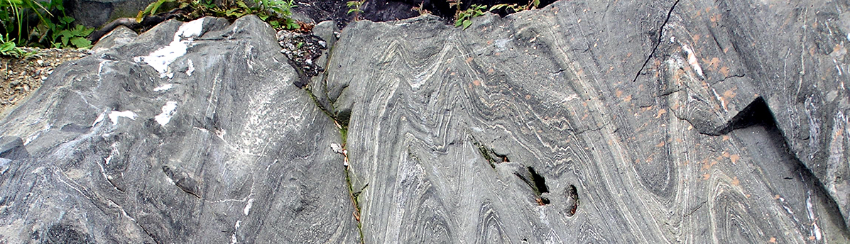 Bulletins consist of illustrated text, maps and cross-sections. Most are bedrock reports from 1950-1969 at a scale of 1:62,500. Paper copies were lost in the flood in 2011.
  Our publications are available on-line and include maps and text at statewide to local scales, general interest to technical reports, and associated GIS data (shapefiles and geodatabases). As a service, we also host publications of the Vermont Geological Society and some USGS maps which were compiled for the 2011 Bedrock Geologic Map of Vermont.
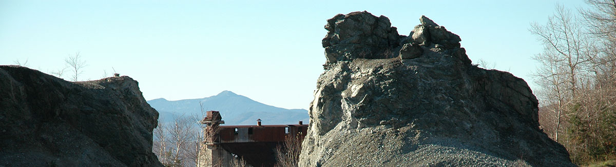 Photograph (M. Kierstad): Towers at Belvidere Mtn.