The Monitoring and Assessment Program conducts various assessment and listing activities to characterize the quality of Vermont's surface waters:
Assessment of the Condition of Vermont Waters
In accordance with the federal Water Pollution Control Act (also known as the Clean Water Act), the Monitoring and Assessment Program periodically assesses the quality of Vermont’s surface waters using the Surface Water Assessment and Listing Methodology. Through the assessment process, program scientists interpret water quality monitoring information from sites within an area of interest, and, where appropriate, relate that information to causes of observed problems and sources of pollutants. Assessment results are published in tactical basin plans on a rotational basis, with three plans published annually. Individual Basin Assessment Reports are no longer published separately from tactical basin plans. Assessment results are also published in the Section 305(b) Water Quality Integrated Assessment Report.
Section 305(b) Water Quality Integrated Assessment Report
Section 305(b) of the Federal Water Pollution Control Act (also known as the Clean Water Act or CWA) requires each state to submit a report about the quality of the state's surface and ground waters to the US Environmental Protection Agency (EPA) on a biennial basis.
2022-2023 Water Quality Monitoring and Assessment Summary Report
The Watershed Management Division 2022-2023 Water Quality Monitoring and Assessment Summary Report summarizes the Division’s monitoring and assessment efforts, highlights recent changes in waterbody listing status, and describes several Division monitoring and assessment priorities. Portions of this report fulfill narrative requirements of the federal Integrated Water Quality Assessment Report, the 305(b) Report; Appendix (Table A2) also supplies links to information for additional 305(b) reporting elements that have not been specifically called out in this report. Most of the data associated with the biennial 305(b) Report has been submitted electronically to the federal Environmental Protection Agency. This data can be accessed through EPA’s “How’s My Waterway?” application as both a statewide summary and at local watershed scale.
Priority Listing of Vermont Waters
For the purposes of identifying and tracking important water quality problems where the Vermont Water Quality Standards (VTWQS) are not met, VTDEC has developed the Vermont Priority Waters List. This list is composed of several parts, each identifying a group of waters with unique water quality concerns that are either impaired or altered:
Part A (303d list): These waters are assessed as impaired due to one or more pollutants for which a TMDL is required to be developed. This list is developed in even-numbered years and submitted to EPA for approval according federal Clean Water Act regulations.
Part B: These waters are assessed as impaired by a pollutant but because other pollution control mechanisms are in place, no TMDL is required to be developed. Water Quality Remediation Plans are one potential tool for addressing impairments.
Part D: These waters are assessed as impaired by a pollutant and have a completed TMDL that has been approved by EPA.
Altered
Part E: These waters are assessed as altered where aquatic habitat and/or other designated uses are not supported due to the extent of invasive aquatic species.
Part F: These waters are assessed as altered due to hydrologic factors. These often include a lack of flow, water level or flow fluctuations or some other modified hydrologic condition.
Final 2022 Documents:
Part A: 303(d) list of Impaired Waters
Part B: Impaired waters for which a TMDL is not required
Part D: Impaired surface waters with a TMDL
Altered
Part E: Waters altered by aquatic invasive species
Part F: Waters altered by flow regulation
Additional Listing Documents:
Water Quality Remediation Plans
Pursuant to 40 C.F.R. §130.7(b), the State may use a Water Quality Remediation Plan (WQRP) in lieu of a TMDL for an impaired water when the State determines that the pollution control requirements of the WQRP are stringent enough to meet State Water Quality Standards within a reasonable period of time. The WQRP procedure is described here.
Specific WQRPs
Jay Peak Resort:
- 2014 Water Quality Monitoring Plan Report
- 2014 Water Quality Remediation Plan (Updated)
- 2015 Water Quality Remediation Plan Update
- 2015 Water Quality Monitoring Plan Report
- 2015 Supplemental Turbidity Monitoring
- 2016 Water Quality Monitoring Plan Report
- 2017 Water Quality Remediation Plan Update
- 2017 Water Quality Monitoring Plan Report
- 2018 Water Quality Remediation Plan Amendment-Construction and Operational Phase Sediment Offset
- 2018 Water Quality Monitoring Plan Report
- 2019 Water Quality Monitoring Plan Report
Killington:
Mount Snow Resort:
- Mount Snow Resort Water Quality Remediation Plan
- Mount Snow Carinthia Iron Stream Remediation Plan
- Mount Snow Carinthia Iron Stream Remediation Plan – 2019 Performance Report
Stowe Mountain Resort:
- Big Spruce Brook Iron Seep Remediation Plan
- West Branch Little River Remediation Plan
- Stowe Mountain Resort 2012 Monitoring Report
- Stowe Mountain Resort 2014 Monitoring Report
- Stowe Mountain Resort 2015 Monitoring Report
- Stowe Mountain Resort 2016 Monitoring Report
Stratton Mountain Resort:
- Stratton Water Quality Remediation Plan
- Stratton Water Quality Remediation Plan 2011 Status Update
- Stratton Water Quality Remediation Plan 2015 Performance Report
Sugarbush Resort:
- Rice Brook and Clay Brook Water Quality Remediation Plan
- Rice Brook and Clay Brook 2010 Biomonitoring Report
Additional Assessments
- National Aquatic Resource Survey Initiative - MAP participates in EPA’s National Aquatic Resource Survey Initiative, which provides the opportunity to conduct statewide water quality assessments separately for streams, lakes, and wetlands for both a state and national picture of water quality.
- Probability Assessments - MAP characterizes the biological condition of Vermont’s wadeable streams based on the results of statewide probability-based surveys, which are conducted jointly with US EPA’s National Rivers and Streams Assessment.
- Stream Geomorphic Assessments - VTDEC also assesses geomorphologic conditions through the Stream Geomorphic Assessment efforts of our Rivers Program.
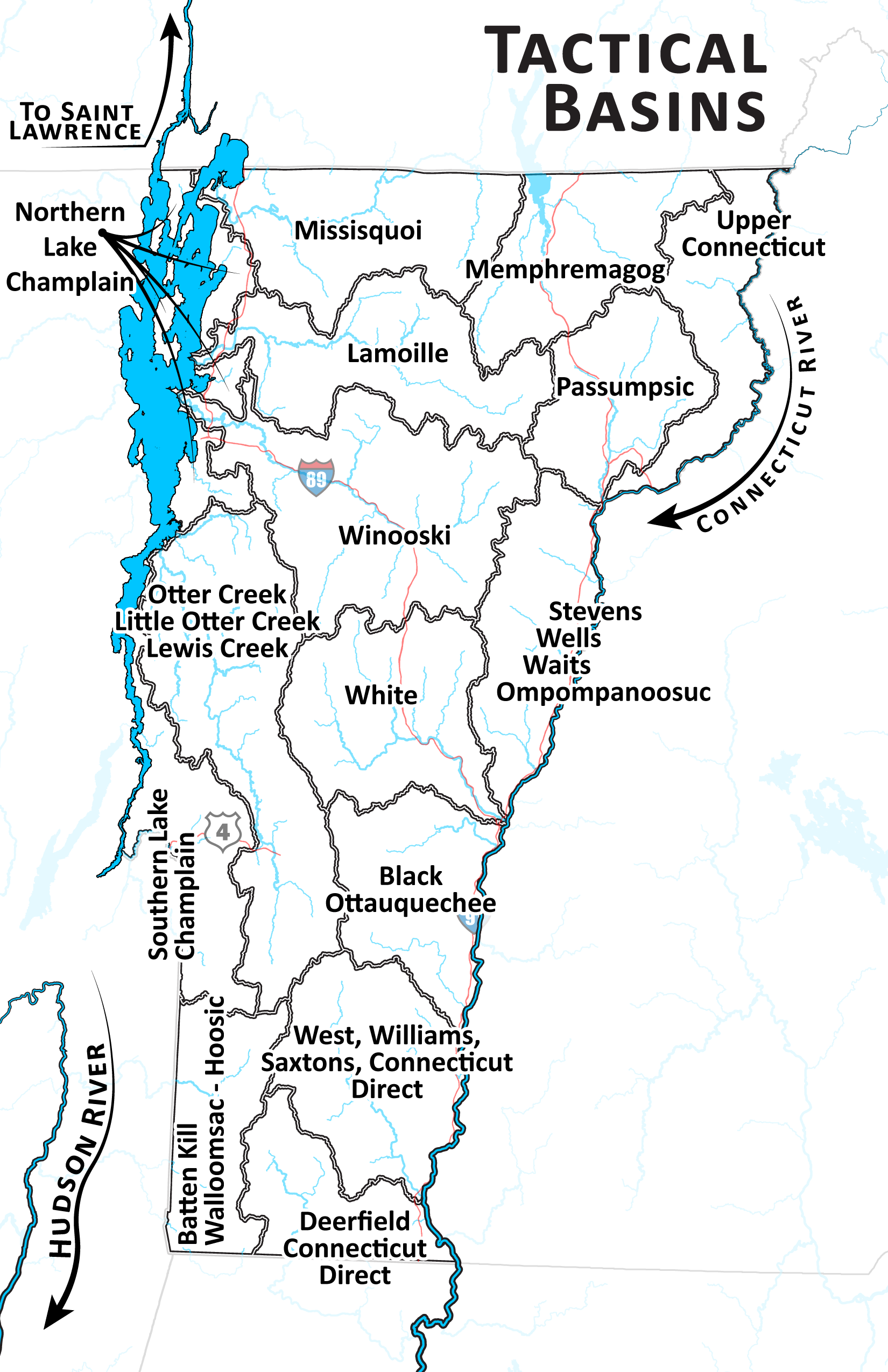
Basin Assessment Reports
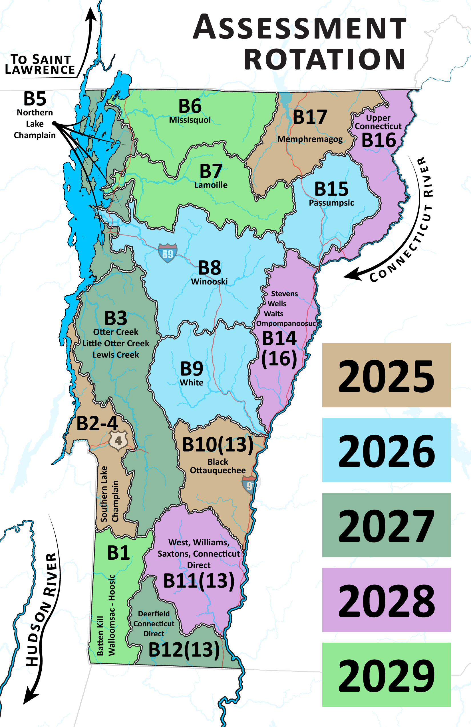
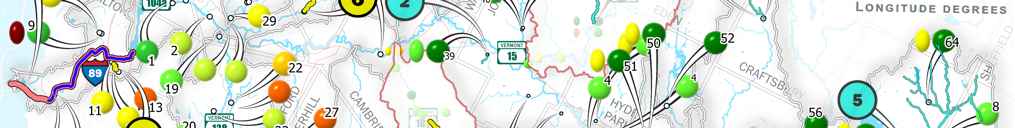
Basin Assessment Reports (BARs) are developed to convey the condition of the Basin’s waters – lakes, streams, and wetlands – by compiling monitoring and assessment data from Watershed Management Division programs. The BARs are produced on a 5-year rotating basis to cover the fifteen planning basins across the state. The current BARs are a slight deviation from what the Division produced in the past (see archive reports below). Where previously the assessment reports were largely a narrative description of the status of waters in a standard report format, current BARs are information packages of maps and tables that display a variety of assessment data collected from Programs across the Division. As these BARs are finalized, they can be found below:
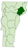
- Basin 14(16) - Stevens-Wells-Waits-Ompompanoosuc-CT Direct (October 2024)
- Basin 6 - Missisquoi (October 2024)
- Basin 16 - Upper Connecticut (July 2024)
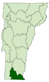
- Basin 11(13) - West, Williams, Saxtons, CT Direct (June 2024)
- Basin 1 - Batten Kill-Walloomsac-Hoosic (April 2024)
- Basin 5 - Northern Lake Champlain (October 2023)
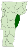
- Basin 15 - Passumpsic River (August 2023)
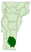
- Basin 12 - Deerfield River and Connecticut River Direct (June 2023)
Archive of Older Basin Assessment Reports
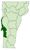
Battenkill, Hoosic, and Walloomsac River Watersheds
Previous assessments: Battenkill, Hoosic, and Walloomsac River Watersheds (August 2002)
Updated assessment reports: Hoosic River Watershed (December 2014)
Southern Lake Champlain Watersheds
Previous assessments: Poultney - Mettawee Watersheds (December 1999)
Updated assessment reports: Poultney - Mettawee Watersheds (January 2013)
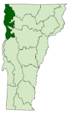
Otter, Little Otter, and Lewis Creek Watersheds
Previous assessments: Otter, Little Otter, and Lewis Creeks (June 1998)
Updated assessment reports: Scheduled for 2017
Northern Lake Champlain Watersheds
Previous assessments: Northern Lake Champlain Basins, Including Pike and Rock Rivers (December 2003)*
Updated assessment reports: Shelburne Bay Watershed (June 2013); St. Albans Bay Watershed (June 2013); Malletts Bay Watershed (July 2013)
*Note: Rock and Pike Rivers were included in the 2003 report, but are addressed as part
of the Missisquoi Bay Basin in subsequent assessments.
Missisquoi Bay Basin
Previous assessments: Missisquoi River Watershed (November 2004)*
Updated assessment reports: Missisquoi Bay Basin (August 2015)
*Note: Rock and Pike Rivers were included in the 2003 Northern Lake Champlain Basins report, but are addressed as part of the Missisquoi Bay Basin in subsequent assessments.
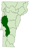
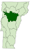
Lamoille River Basin
Previous assessments: Lamoille River Basin (February 2001)
Updated assessment reports: Lamoille River Basin (February 2016)
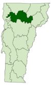
Winooski River Basin
Previous assessments: Winooski River Basin (April 2008)
Updated assessment reports: Winooski River Basin (June 2017)
Winooski basin: Water Quality Assessment Maps (March 2018).
White River Basin
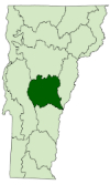
Previous assessments: White River Basin (November 1997); White River Basin (November 2002); White River Basin (November 2012)
Updated assessment reports: White River Basin (December 2016)
Black, Ottauquechee River (and adjacent CT River tributary) Watersheds
Previous assessments: Black and Ottauquechee River Watersheds (June 2000)*
Updated assessment reports: Black River Watershed (October 2016); Ottauquechee River Watershed including Mills Brook and Lulls Brook (October 2016)
*Note: Only the Black and Ottauquechee Rivers were included in the 2000 report, but adjacent CT River direct drainages will be included in subsequent reports.
West, Williams, and Saxtons Rivers plus adjacent Lower CT River Tributary Watersheds
Previous assessments: West, Williams, and Saxtons River Watersheds (November 2001); Lower CT River Tributary Watersheds (April 2002)*
Updated assessment reports: West River Watershed (October 2014); Williams River Watershed (October 2014); Saxtons River Watershed (October 2014); Lower CT River Tributary Watersheds (October 2014)*
*Note: Only the West, Williams, and Saxtons Rivers were included in the 2001 report, but adjacent Lower CT River direct drainages were assessed separately in 2002 and 2014, and will now be included in subsequent reports.
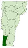
Deerfield River and adjacent Lower Connecticut River Tributary Watersheds
Previous assessments: Deerfield River Watershed (March 2003)*
Updated assessment reports: Deerfield River Watershed (December 2012)*
*Note: Only the Deerfield River watershed was included in the 2003 and 2012 reports, but adjacent Lower CT River direct drainages were assessed with other direct drainages in 2002 and 2014 (see above) and will now be included with the Deerfield in subsequent reports.
Stevens, Wells, Waits, Ompompanoosuc Rivers plus adjacent CT River Tributary Watersheds
Previous assessments: Stevens, Wells, Waits and Ompompanoosuc Rivers Watersheds (April 1999)*
Updated assessment reports: Stevens River Watershed (June 2014); Wells River Watershed (August 2014); Waits River and Halls Brook Watersheds (August 2014); Ompompanoosuc River and adjacent CT River Tributary Watersheds (December 2014)*
*Note: The Stevens, Wells, Waits and Ompompanoosuc Rivers Watersheds were assessed as a group in 1999. Adjacent direct CT River drainages were assessed with the Upper CT River watersheds in 2011 (see below) and again in 2014 in conjunction with the Ompompanoosuc. These will continue to be assessed with the Ompompanoosuc in subsequent reports.
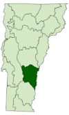
Passumpsic River Basin
Previous assessments: Passumpsic River Basin (June 2009); Passumpsic River Basin (February 2013)
Updated assessment reports: Passumpsic River Basin (January 2019)
Upper Connecticut River Watersheds
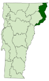
Previous assessments: Upper Connecticut River Watersheds (March 2011)*
Updated assessment reports: Scheduled for 2016
*Note: Some more southerly CT River direct drainages included in the 2011 report were assessed again in 2014 in conjunction with the Ompompanoosuc River Basin, and will continue to be assessed with the Ompompanoosuc in subsequent reports.
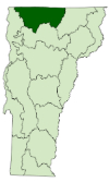
Lake Memphremagog Basin
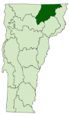
Previous assessments: Lake Memphremagog (March 2006)*
Updated assessment reports: Lake Memphremagog Basin Assessment Report 2015
*Note: The Lake Memphremagog Basin includes two international watersheds (the Tomifobia and Coaticook Rivers) that do not flow directly to the lake, though are also part of the greater Saint Lawrence River Basin.